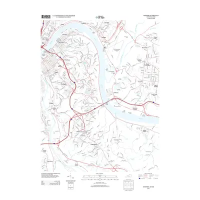
2013 Map of Newport
USGS Topo · Published 2013About this map
The Ohio River and Licking River converge at the heart of this urban and suburban landscape, anchoring a network of communities spanning the Kentucky and Ohio border. Densely settled areas like Newport, Bellevue, and Dayton contrast with the large green spaces of Evergreen Cem and Stanbery Park. Along the Ohio shore, the map reveals a leisure-focused riverfront featuring Old Coney Amusement Park, the River Downs Racetrack, and several marinas such as Yacht Haven Marina.
Find a feature on this map
79 named features on this map. Tap any name to fly to it.
Don’t see what you’re looking for? This feature index may not catch every label — zoom into the map to look around manually.
Map Details
Editions of this 2013 Newport Map
This is the sole edition of this map. No revisions or reprints were ever made.
Other maps of this area

1898 · East Cincinnati
USGS Topo · 1:62,500

1914 · East Cincinnati
USGS Topo · 1:62,500

1914 · West Cincinnati
USGS Topo · 1:62,500

1929 · Alexandria
USGS Topo · 1:48,000

1936 · Alexandria
USGS Topo · 1:62,500

1950 · Independence
USGS Topo · 1:24,000

1950 · Covington
USGS Topo · 1:24,000

1952 · Newport
USGS Topo · 1:24,000

1953 · Withamsville
USGS Topo · 1:24,000

1953 · New Richmond
USGS Topo · 1:24,000