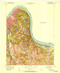
2022 Map of Newport
USGS Topo · Published 2022About this map
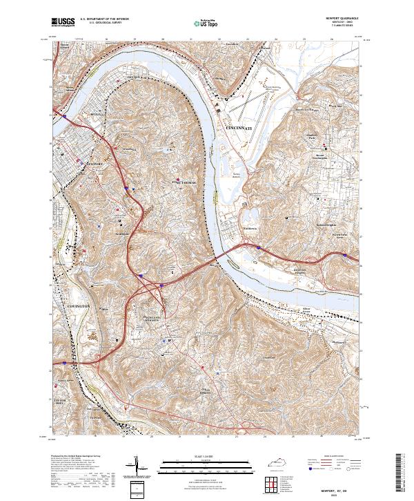
The Ohio River and Licking River define this complex urban and suburban landscape, where the borders of Kentucky and Ohio meet amidst a dense network of riverfront settlements. This 2022 survey documents the established residential patterns of Newport, Covington, and Fort Thomas, while highlighting the significant institutional presence of Northern Kentucky University in Highland Heights. The topography rises sharply from the riverbanks to ridges like Walnut Hills, creating distinct neighborhoods connected by major arteries such as the Alexandria Pike and Columbia Pkwy.
Find a feature on this map
85 named features on this map. Tap any name to fly to it.
Don’t see what you’re looking for? This feature index may not catch every label — zoom into the map to look around manually.
Map Details
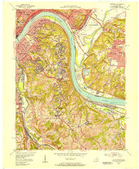
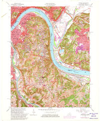
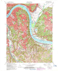
Editions of this 2022 Newport Map
This is the sole edition of this map. No revisions or reprints were ever made.
Historical Maps of Turpin Hills Through Time
5 maps found