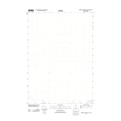
2012 Map of Newport Center OE N
USGS Topo · Published 2012About this map
The northern reaches of Lake Memphremagog extend just into the southern edge of this borderland area along the Vermont-Quebec boundary. The terrain is characterized by rural development and agricultural land use, evidenced by localized landmarks such as Guay Farm Rd. This 2012 survey documents the landscape just south of the international border, capturing a snapshot of the region's geography and infrastructure near the town of Troy. The map's detail provides a clear view of the relationship between the shoreline of Lake Memphremagog and the surrounding local road network during the early 21st century.
Find a feature on this map
2 named features on this map. Tap any name to fly to it.
Don’t see what you’re looking for? This feature index may not catch every label — zoom into the map to look around manually.
Map Details
Editions of this 2012 Newport Center OE N Map
This is the sole edition of this map. No revisions or reprints were ever made.
Other maps of this area

1919 · Lake Memphremagog
USGS Topo · 1:62,500

1920 · Derby
USGS Topo · 1:62,500

1920 · Irasburg
USGS Topo · 1:62,500

1923 · Irasburg
USGS Topo · 1:48,000

1923 · Lake Memphremagog
USGS Topo · 1:48,000

1925 · Irasburg
USGS Topo · 1:62,500

1925 · Memphremagog
USGS Topo · 1:62,500

1950 · Lake Champlain
USGS Topo · 1:250,000

1953 · Irasburg
USGS Topo · 1:62,500
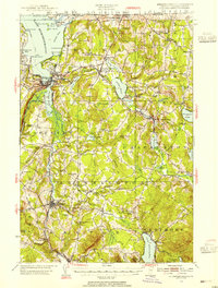
1953 · Memphremagog
USGS Topo · 1:62,500