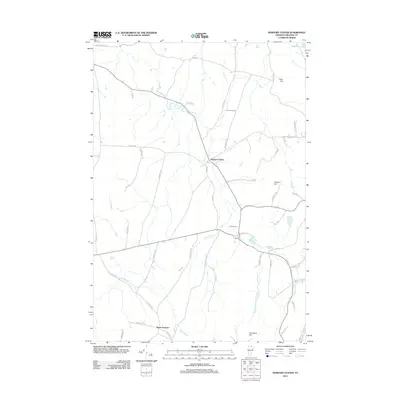
2012 Map of Newport Center
USGS Topo · Published 2012About this map
Newport Center and South Newport anchor this agricultural and wooded landscape of Orleans County, Vermont, as it appeared in the early 21st century. The terrain is defined by prominent elevations such as Allen Hill, Coburn Hill, and Cleveland Hill, with the waters of Lake Memphremagog just touching the northern boundary. The local road network, including family-named routes like Browns Hill Rd and Collins Mill Rd, suggests a legacy of homesteading and early timber or milling operations. Water is a constant presence, with Dunn Brook, Beetle Brook, and Stony Brook threading through the valleys toward the Black River. This survey captures the rural character of the region, where sites like Center Cem and the former rail stop at Summit Siding mark the enduring points of local community and transport history.
Find a feature on this map
55 named features on this map. Tap any name to fly to it.
Don’t see what you’re looking for? This feature index may not catch every label — zoom into the map to look around manually.
Map Details
Editions of this 2012 Newport Center Map
This is the sole edition of this map. No revisions or reprints were ever made.
Other maps of this area

1919 · Lake Memphremagog
USGS Topo · 1:62,500

1920 · Derby
USGS Topo · 1:62,500

1920 · Irasburg
USGS Topo · 1:62,500

1923 · Irasburg
USGS Topo · 1:48,000

1923 · Lake Memphremagog
USGS Topo · 1:48,000

1925 · Irasburg
USGS Topo · 1:62,500

1925 · Memphremagog
USGS Topo · 1:62,500

1950 · Lake Champlain
USGS Topo · 1:250,000

1953 · Irasburg
USGS Topo · 1:62,500
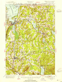
1953 · Memphremagog
USGS Topo · 1:62,500