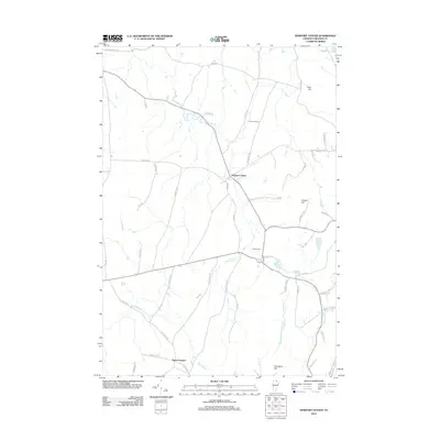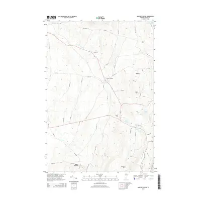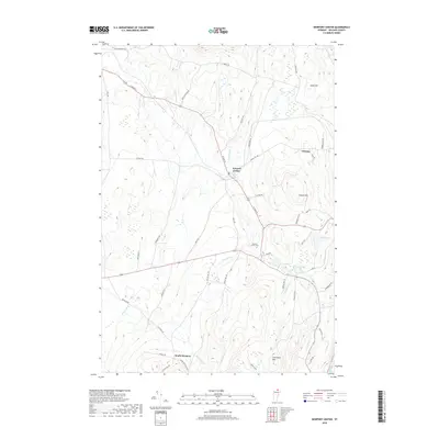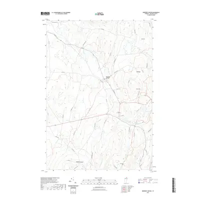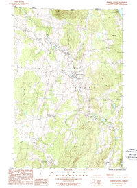
1986 Map of Newport Center
USGS Topo · Published 1986About this map
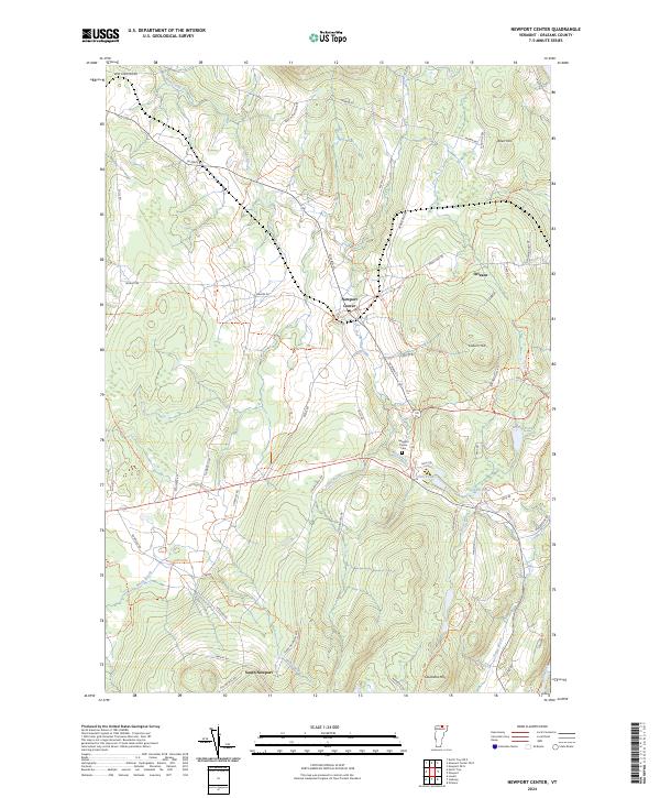
The Canada United States border defines the northern edge of this Vermont landscape, where the town of Newport Center serves as a primary hub. The terrain is characterized by a series of distinct peaks and ponds, with Bear Mtn rising near the international line and Lake Memphremagog just clipping the northeastern corner. This mid-1980s survey illustrates a rural economy reliant on natural resources and transportation, evidenced by the numerous Sand & Gravel Pits and the Summit Siding rail feature. A network of waterways including Mud Creek and Beetle Brook drain the hills, while localized settlements like South Newport and family-named landmarks such as Cleveland Hill and Walker Pd highlight the area's genealogical depth. Small Cem sites and a Sub Sta indicate the established local infrastructure of Orleans County.
Find a feature on this map
27 named features on this map. Tap any name to fly to it.
Don’t see what you’re looking for? This feature index may not catch every label — zoom into the map to look around manually.
Map Details
Editions of this 1986 Newport Center Map
This is the sole edition of this map. No revisions or reprints were ever made.
Historical Maps of Irasburg Through Time
6 maps found