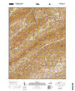
2019 Map of Newport
USGS Topo · Published 2019About this map
Blacksburg and the surrounding highlands of the Jefferson National Forest define this landscape, where the ridges of Craig Co and Giles Co meet. The map documents a blend of academic growth and rural preservation, featuring the historic Sinking Creek Covered Bridge near the settlement of Newport. This area is marked by steep relief, with prominent gaps like Rocky Gap and Stevens Gap providing natural passages through the terrain. Family history is well-preserved across the quadrangle, with several burial grounds including Hale Cem, Williams Cem, and the Level Green Christian Church Cemetery located near Huffman. The Appalachian National Scenic Trail winds across the northern ridges, tracing the high ground above Sinking Creek and Johns Cr. This 2019 survey provides a precise record of the road networks connecting Mount Tabor to the valley floor via Mount Tabor Rd and Virginia Ave.
Find a feature on this map
116 named features on this map. Tap any name to fly to it.
Don’t see what you’re looking for? This feature index may not catch every label — zoom into the map to look around manually.
Map Details
Editions of this 2019 Newport Map
This is the sole edition of this map. No revisions or reprints were ever made.
Other maps of this area

1890 · Dublin
USGS Topo · 1:125,000

1890 · Christiansburg
USGS Topo · 1:125,000

1891 · Dublin
USGS Topo · 1:125,000

1923 · Pearisburg
USGS Topo · 1:62,500

1923 · Waiteville
USGS Topo · 1:62,500

1931 · Waiteville
USGS Topo · 1:48,000

1932 · Pearisburg
USGS Topo · 1:48,000

1932 · Blacksburg
USGS Topo · 1:48,000

1937 · Pearisburg
USGS Topo · 1:62,500

1937 · Blacksburg
USGS Topo · 1:62,500