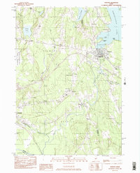
1982 Map of Newport
USGS Topo · Published 1983About this map
Sebasticook Lake and the East Branch Sebasticook River anchor this landscape, where the town centers of Newport, Detroit, and Pittsfield are interconnected by a network of rural roads and historical rail corridors. The map documents a classic Maine interior pattern of crossroad settlements such as Goodwin Corner, Hurd Corner, and Dogtown, which likely served as local commercial nodes for the surrounding agricultural and timbered lands. Significant conservation and recreation footprints are visible, including the Madawaska Marsh Game Management Area and various Fish Hatchery Ponds. A specialized 1980s infrastructure is present, evidenced by the Drive-in Theater near Houston Corner and the Pittsfield Municipal Airport, showing the modernization of the area alongside longstanding features like Robbers Bog and Libby Hill.
Find a feature on this map
45 named features on this map. Tap any name to fly to it.
Don’t see what you’re looking for? This feature index may not catch every label — zoom into the map to look around manually.
Map Details
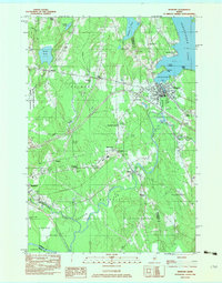
Editions of this 1982 Newport Map
2 editions found
Other maps of this area

1926 · Burnham
USGS Topo · 1:62,500

1930 · Pittsfield
USGS Topo · 1:48,000

1931 · Stetson
USGS Topo · 1:48,000

1932 · Brooks
USGS Topo · 1:62,500

1932 · Pittsfield
USGS Topo · 1:62,500

1933 · Pittsfield
USGS Topo · 1:62,500

1935 · Stetson
USGS Topo · 1:62,500

1948 · Bangor
USGS Topo · 1:250,000

1955 · Pittsfield
USGS Topo · 1:62,500

1955 · Brooks
USGS Topo · 1:62,500