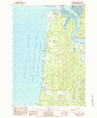
1984 Map of Newport South
USGS Topo · Published 1985About this map
Yaquina Bay and its intricate network of sloughs define this mid-1980s coastal landscape, where the Yaquina River meets the Pacific Ocean. The map documents the interface between maritime industry and conservation, featuring the Marine Science Center and South Beach State Park near the entrance to the bay. To the east, the tidewaters of King Slough and Poole Slough weave through a terrain of small landings and points, including McLean Point and Oneatta Point. Historically significant locations such as the riverside community of Yaquina and the small settlement of Oysterville sit along the riverbanks, reflecting the region's long-standing connection to the water. Moving south along the Oregon Coast Highway, the map tracks the transition from the Newport Municipal Airport toward the forested slopes of the Siuslaw National Forest and the rocky shorelines of Seal Rock.
Find a feature on this map
49 named features on this map. Tap any name to fly to it.
Don’t see what you’re looking for? This feature index may not catch every label — zoom into the map to look around manually.
Map Details
Editions of this 1984 Newport South Map
2 editions found
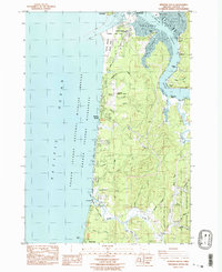
Other maps of this area

1922 · Waldport
USGS Topo · 1:62,500

1942 · Waldport
USGS Topo · 1:62,500

1942 · Yaquina
USGS Topo · 1:62,500

1942 · Tidewater
USGS Topo · 1:62,500

1942 · Toledo
USGS Topo · 1:62,500

1953 · Salem
USGS Topo · 1:250,000

1954 · Salem
USGS Topo · 1:250,000

1956 · Tidewater
USGS Topo · 1:62,500

1956 · Waldport
USGS Topo · 1:62,500

1957 · Yaquina
USGS Topo · 1:62,500