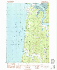
1984 Map of Newport South
USGS Topo · Published 1985About this map
Yaquina Bay and the coastal corridor south of Newport are detailed in this mid-1980s coastal survey. The map documents a landscape defined by the transition from the Pacific Ocean to the sheltered waters of the Yaquina River, showcasing the maritime and research infrastructure at South Beach, including the Marine Science Center and the protective north and south Jetty systems. Inland, the map captures the complex network of tidal waterways such as King Slough, McCaffery Slough, and Poole Slough which carved into the coastal timberlands of the Siuslaw National Forest.
Find a feature on this map
58 named features on this map. Tap any name to fly to it.
Don’t see what you’re looking for? This feature index may not catch every label — zoom into the map to look around manually.
Map Details
Editions of this 1984 Newport South Map
2 editions found
Other maps of this area

1922 · Waldport
USGS Topo · 1:62,500

1942 · Waldport
USGS Topo · 1:62,500

1942 · Yaquina
USGS Topo · 1:62,500

1942 · Tidewater
USGS Topo · 1:62,500

1942 · Toledo
USGS Topo · 1:62,500

1953 · Salem
USGS Topo · 1:250,000

1954 · Salem
USGS Topo · 1:250,000

1956 · Tidewater
USGS Topo · 1:62,500

1956 · Waldport
USGS Topo · 1:62,500

1957 · Yaquina
USGS Topo · 1:62,500