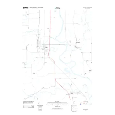
2013 Map of Newport
USGS Topo · Published 2013About this map
The Wabash River snakes through the landscape, defining the topography near the Illinois-Indiana border where the Vermilion River and Little Vermilion River join its course. This 2013 survey documents a series of river-dependent communities, including the town of Cayuga and the historic settlement of Eugene. The terrain is characterized by broad floodplains and distinctive features like Manhattan Island and the meandering Coal Cr.
Find a feature on this map
98 named features on this map. Tap any name to fly to it.
Don’t see what you’re looking for? This feature index may not catch every label — zoom into the map to look around manually.
Map Details
Editions of this 2013 Newport Map
This is the sole edition of this map. No revisions or reprints were ever made.
Other maps of this area

1899 · Danville
USGS Topo · 1:62,500

1900 · Danville
USGS Topo · 1:62,500

1947 · Ridge Farm
USGS Topo · 1:62,500

1950 · Danville SE
USGS Topo · 1:24,000

1951 · Danville SE
USGS Topo · 1:24,000

1953 · Danville
USGS Topo · 1:250,000

1953 · Indianapolis
USGS Topo · 1:250,000

1955 · Danville
USGS Topo · 1:250,000

1955 · Kingman
USGS Topo · 1:24,000

1955 · Humrick
USGS Topo · 1:24,000