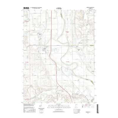
2016 Map of Newport
USGS Topo · Published 2016About this map
The Wabash River meanders through this portion of western Indiana, defining the boundary between Vermillion, Fountain, and Parke counties. The landscape is characterized by its complex river systems, where the Vermilion River and Little Vermilion River converge with the Wabash, creating distinctive landforms like Manhattan Island and Silver Island. The settlement pattern centers on the established river towns of Newport, Cayuga, and Eugene, which are connected by a network of rural roads such as Co RD 480 N and Co RD 150 N.
Find a feature on this map
77 named features on this map. Tap any name to fly to it.
Don’t see what you’re looking for? This feature index may not catch every label — zoom into the map to look around manually.
Map Details
Editions of this 2016 Newport Map
This is the sole edition of this map. No revisions or reprints were ever made.
Other maps of this area

1899 · Danville
USGS Topo · 1:62,500

1900 · Danville
USGS Topo · 1:62,500

1947 · Ridge Farm
USGS Topo · 1:62,500

1950 · Danville SE
USGS Topo · 1:24,000

1951 · Danville SE
USGS Topo · 1:24,000

1953 · Danville
USGS Topo · 1:250,000

1953 · Indianapolis
USGS Topo · 1:250,000

1955 · Danville
USGS Topo · 1:250,000

1955 · Kingman
USGS Topo · 1:24,000

1955 · Humrick
USGS Topo · 1:24,000