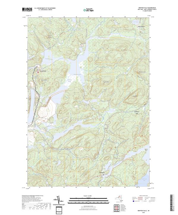
2023 Map of Newton Falls
USGS Topo · Published 2023About this map
Oswegatchie River meanders through the heart of this landscape, anchoring the settlements of Newton Falls and Wanakena within the Adirondack Park Preserve. The terrain is defined by a dense network of waterways and wetlands, including Chaumont Pond, Little Moosehead Pond, and the expansive Chaumont Swamp. The southeastern corner of the map captures the western reach of Cranberry Lake near Flatiron Point, a significant regional landmark for water-based navigation and recreation.
Find a feature on this map
43 named features on this map. Tap any name to fly to it.
Don’t see what you’re looking for? This feature index may not catch every label — zoom into the map to look around manually.
Map Details
Editions of this 2023 Newton Falls Map
This is the sole edition of this map. No revisions or reprints were ever made.
Other maps of this area

1915 · Russell
USGS Topo · 1:62,500

1916 · Oswegatchie
USGS Topo · 1:62,500

1918 · Russell
USGS Topo · 1:62,500

1918 · Oswegatchie
USGS Topo · 1:62,500

1919 · Cranberry Lake
USGS Topo · 1:62,500

1921 · Cranberry Lake
USGS Topo · 1:62,500

1921 · Stark
USGS Topo · 1:62,500

1923 · Stark
USGS Topo · 1:62,500

1931 · Cranberry Lake
USGS Topo · 1:62,500

1940 · Stark
USGS Topo · 1:62,500