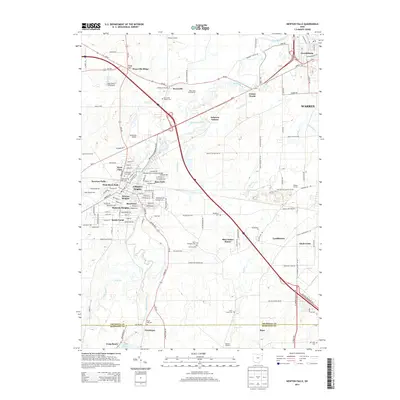
2013 Map of Newton Falls
USGS Topo · Published 2013About this map
The Mahoning River winds through this Trumbull County landscape, defining the industrial and residential development of Newton Falls. The town is notably divided into several distinct neighborhoods, including West View, Arlington Heights, and Newton Heights, clustered around the central reservoir and the landmark Newton Falls Covered Bridge. This area is characterized by its numerous historic burial grounds, such as W Newton Falls Cem and the nearby Saint Michaels Cem, which serve as vital points for genealogical research in the region.
Find a feature on this map
60 named features on this map. Tap any name to fly to it.
Don’t see what you’re looking for? This feature index may not catch every label — zoom into the map to look around manually.
Map Details
Editions of this 2013 Newton Falls Map
This is the sole edition of this map. No revisions or reprints were ever made.
Other maps of this area

1905 · Bristolville
USGS Topo · 1:62,500

1905 · Garrettsville
USGS Topo · 1:62,500

1906 · Ravenna
USGS Topo · 1:62,500

1907 · Bristolville
USGS Topo · 1:62,500

1907 · Garrettsville
USGS Topo · 1:62,500

1908 · Warren
USGS Topo · 1:62,500

1908 · Ravenna
USGS Topo · 1:62,500

1950 · Cleveland
USGS Topo · 1:250,000

1952 · Lake Milton
USGS Topo · 1:24,000

1952 · Canfield
USGS Topo · 1:24,000