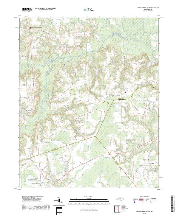
2022 Map of Newton Grove North
USGS Topo · Published 2022About this map
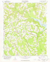
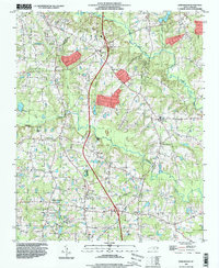
Newton Grove anchors the southwestern corner of this coastal plain landscape, where the borders of Johnston, Sampson, and Wayne counties converge. The geography is defined by a dense network of watercourses and wetlands, including the extensive Beaverdam Swamp and Kill Swamp, which illustrate the drainage patterns of the region's agricultural interior. Smaller rural communities like Harper, Strickland Crossroads, and Overshot are linked by a grid of named local roads such as Harper House Rd and Shaws Pond Rd. These routes often follow the higher ground between the numerous branches and creeks, such as Saw Pit Br and Falling Cr, reflecting a long-standing settlement pattern where homes and farms avoided the lower, swampy bottomlands while remaining tied to the primary transport corridors between nearby county seats.
Find a feature on this map
76 named features on this map. Tap any name to fly to it.
Don’t see what you’re looking for? This feature index may not catch every label — zoom into the map to look around manually.
Map Details
Editions of this 2022 Newton Grove North Map
This is the sole edition of this map. No revisions or reprints were ever made.
Historical Maps of Wayne County Through Time
22 maps found
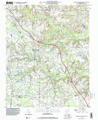
1964 Edmondson
Johnston County, NC
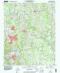
1964 Flowers
Johnston County, NC
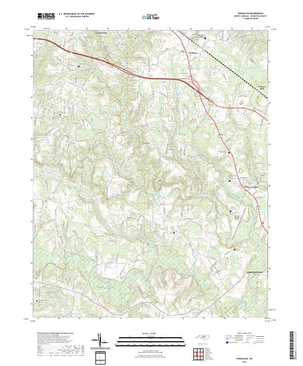
1964 Powhatan
Johnston County, NC

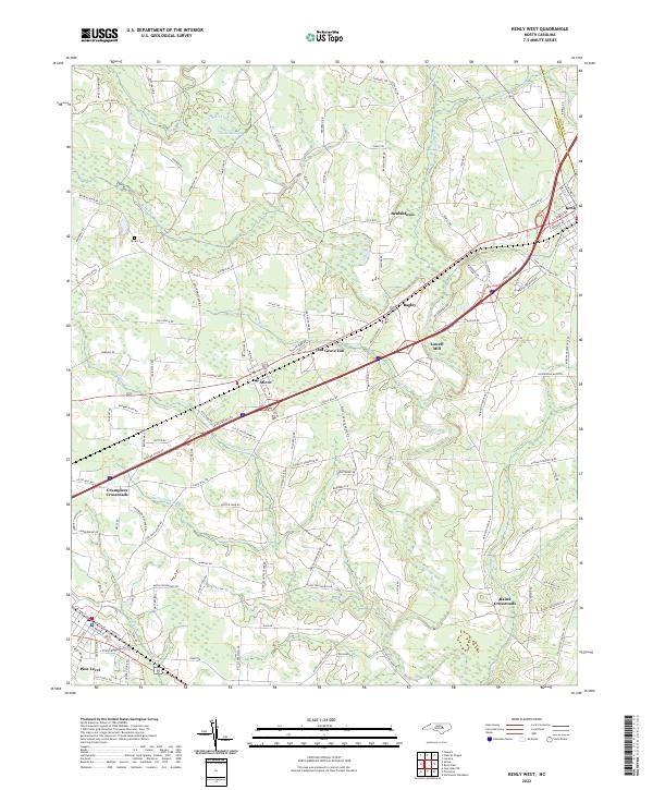
1978 Kenly West
Johnston County, NC
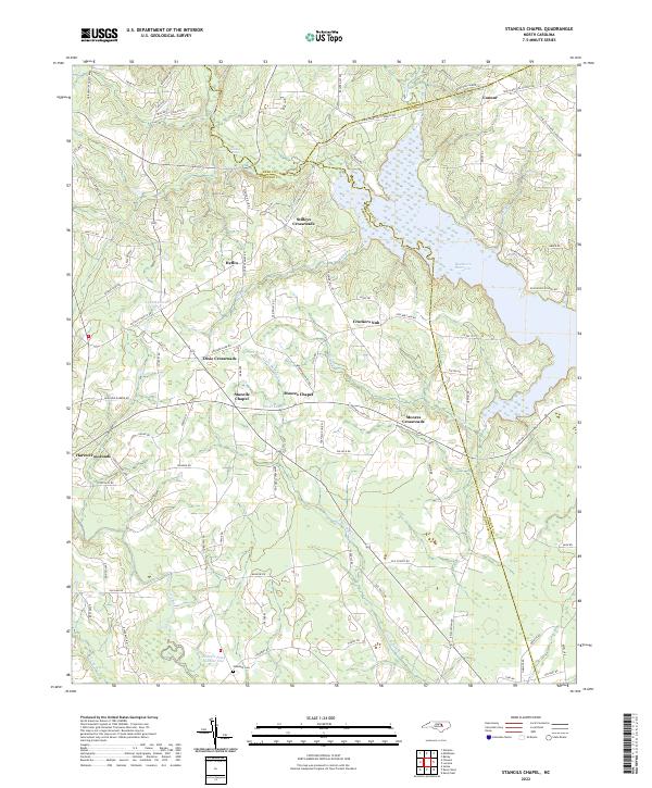
1978 Stancils Chapel
Johnston County, NC
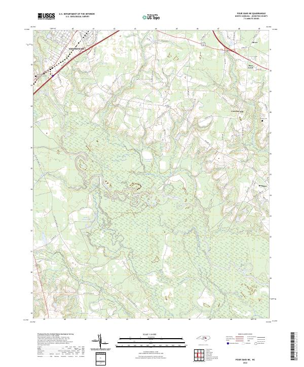
1986 Four Oaks NE
Johnston County, NC
1986 Newton Grove North
Johnston County, NC
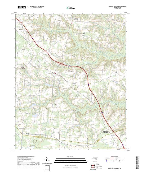
1986 Peacocks Crossroads
Johnston County, NC
1993 Edmondson
Johnston County, NC
1993 Powhatan
Johnston County, NC
1997 Four Oaks NE
Johnston County, NC
1997 Newton Grove North
Johnston County, NC
1997 Peacocks Crossroads
Johnston County, NC
1998 Flowers
Johnston County, NC
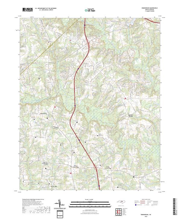
2022 Edmondson
Johnston County, NC
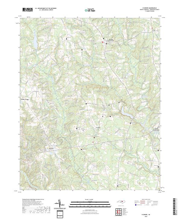
2022 Flowers
Johnston County, NC
2022 Four Oaks NE
Johnston County, NC
2022 Kenly West
Johnston County, NC
2022 Newton Grove North
Johnston County, NC
2022 Peacocks Crossroads
Johnston County, NC
2022 Powhatan
Johnston County, NC
2022 Stancils Chapel
Johnston County, NC