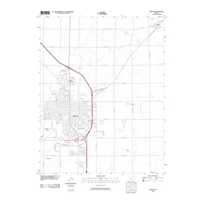
2009 Map of Newton
USGS Topo · Published 2009About this map
Newton and North Newton anchor this Harvey County landscape, where the confluence of modern aviation and historic rail siding defines the local economy. The mapping reflects a period of established infrastructure, featuring the large Newton City-County Airport and the smaller Eightyone Airport situated near the intersection of major transit corridors. For genealogists, the map provides precise locations for Greenwood Cemetery and Saint Marys Cemetery, serving as vital anchors for local family history.
Find a feature on this map
69 named features on this map. Tap any name to fly to it.
Don’t see what you’re looking for? This feature index may not catch every label — zoom into the map to look around manually.
Map Details
Editions of this 2009 Newton Map
This is the sole edition of this map. No revisions or reprints were ever made.
Other maps of this area

1889 · Newton
USGS Topo · 1:125,000

1889 · Wichita
USGS Topo · 1:125,000

1894 · Wichita
USGS Topo · 1:125,000

1894 · Newton
USGS Topo · 1:125,000

1955 · Wichita
USGS Topo · 1:250,000

1955 · Hutchinson
USGS Topo · 1:250,000

1957 · Newton
USGS Topo · 1:24,000

1957 · Peabody NW
USGS Topo · 1:24,000

1957 · Elbing
USGS Topo · 1:24,000

1958 · Wichita
USGS Topo · 1:250,000