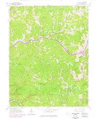
1966 Map of Newton
USGS Topo · Published 1976About this map
Newton serves as a central point in this mid-1960s study of the Geary district, where the landscape is defined by a dense network of petroleum extraction. Hundreds of Gas Wells and Oil Wells are etched across the ridges and hollows, particularly concentrated near Dog Creek and Right Fork. This industrial footprint exists alongside a quiet rural infrastructure of country churches like Rogersfork Ch and small family burial grounds including Smith Cem and Hively Cem.
Find a feature on this map
55 named features on this map. Tap any name to fly to it.
Don’t see what you’re looking for? This feature index may not catch every label — zoom into the map to look around manually.
Map Details
Editions of this 1966 Newton Map
2 editions found
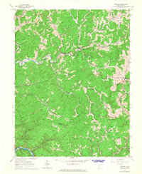
Other maps of this area

1897 · Kanawha Falls
USGS Topo · 1:125,000

1900 · Kanawha Falls
USGS Topo · 1:125,000

1901 · Kanawha Falls
USGS Topo · 1:125,000

1906 · Otter
USGS Topo · 1:62,500

1906 · Walton
USGS Topo · 1:62,500

1907 · Otter
USGS Topo · 1:62,500

1907 · Walton
USGS Topo · 1:62,500

1907 · Clendenin
USGS Topo · 1:62,500

1908 · Clay
USGS Topo · 1:48,000

1909 · Clendenin
USGS Topo · 1:62,500