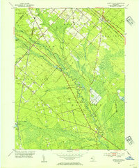
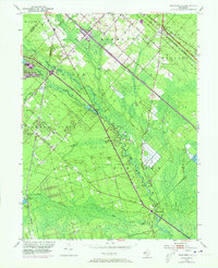
1953 Map of Newtonville
USGS Topo · Published 1954About this map
Great Egg Harbor River carves a diagonal path through this part of Atlantic County, where the Pine Barrens landscape is defined by wetlands and specialized agriculture. Several Cranberry Bogs dot the terrain near Penny Pot Stream and Makepiece Lake, illustrating the regional reliance on these unique hydrologic features during the early 1950s. The settlement pattern is concentrated along the Black Horse Pike and the Pennsylvania-Reading Seashore Lines, which serve as primary transportation corridors connecting rural hamlets like Folsom and Newtonville. Local community life is anchored by a cluster of small houses of worship, including Bethlehem Ch and First Union Ch. The mapping of numerous Gravel Pits and the presence of a Gaging Sta on the river reflect the ongoing interaction between local industry and the natural environment in this corner of southern New Jersey.
Find a feature on this map
41 named features on this map. Tap any name to fly to it.
Don’t see what you’re looking for? This feature index may not catch every label — zoom into the map to look around manually.
Map Details
Editions of this 1953 Newtonville Map
5 editions found
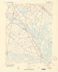
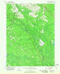
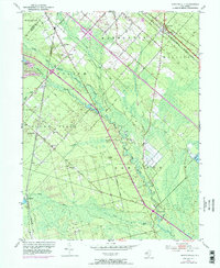
Other maps of this area

1890 · Great Egg Harbor
USGS Topo · 1:62,500

1890 · Hammonton
USGS Topo · 1:62,500

1890 · Tuckahoe
USGS Topo · 1:62,500

1890 · Mullica
USGS Topo · 1:62,500

1893 · Great Egg Harbor
USGS Topo · 1:62,500

1893 · Tuckahoe
USGS Topo · 1:62,500

1894 · Hammonton
USGS Topo · 1:62,500

1894 · Mullica
USGS Topo · 1:62,500

1898 · Mullica
USGS Topo · 1:62,500

1898 · Hammonton
USGS Topo · 1:62,500