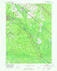
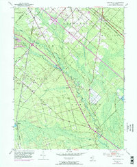
1953 Map of Newtonville
USGS Topo · Published 1973About this map
The Great Egg Harbor River and its numerous tributaries, including Penny Pot Stream and Hospitality Branch, dominate this Atlantic County landscape during the early 1950s. The region is characterized by specialized agricultural land use, evidenced by multiple Cranberry Bog sites and numerous Gravel Pits scattered near settlements. Development follows the established corridors of the Black Horse Pike and the Atlantic City Expressway, reflecting the area's role as a transit link between the interior and the coast.
Find a feature on this map
47 named features on this map. Tap any name to fly to it.
Don’t see what you’re looking for? This feature index may not catch every label — zoom into the map to look around manually.
Map Details
Editions of this 1953 Newtonville Map
5 editions found
Other maps of this area

1890 · Great Egg Harbor
USGS Topo · 1:62,500

1890 · Hammonton
USGS Topo · 1:62,500

1890 · Tuckahoe
USGS Topo · 1:62,500

1890 · Mullica
USGS Topo · 1:62,500

1893 · Great Egg Harbor
USGS Topo · 1:62,500

1893 · Tuckahoe
USGS Topo · 1:62,500

1894 · Hammonton
USGS Topo · 1:62,500

1894 · Mullica
USGS Topo · 1:62,500

1898 · Mullica
USGS Topo · 1:62,500

1898 · Hammonton
USGS Topo · 1:62,500