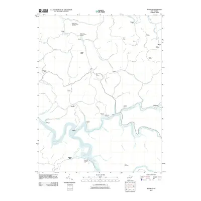
2010 Map of Newville
USGS Topo · Published 2010About this map
Sutton Lake and the winding Elk River dominate this Central West Virginia landscape, where the rising waters shaped the settlement patterns of the late 20th century. Several small communities including Newville, Palmer, and Holly are situated along the river's various forks, connected by a network of rural routes like Corley Rd and Holly Rd. The topography is characterized by prominent ridges such as Morrison Ridge and Middle Ridge, which separate the numerous runs and creeks feeding into the larger river systems.
Find a feature on this map
92 named features on this map. Tap any name to fly to it.
Don’t see what you’re looking for? This feature index may not catch every label — zoom into the map to look around manually.
Map Details
Editions of this 2010 Newville Map
This is the sole edition of this map. No revisions or reprints were ever made.
Other maps of this area

1893 · Buckhannon
USGS Topo · 1:125,000

1893 · Sutton
USGS Topo · 1:125,000

1896 · Buckhannon
USGS Topo · 1:125,000

1897 · Buckhannon
USGS Topo · 1:125,000

1906 · Burnsville
USGS Topo · 1:62,500

1908 · Sutton
USGS Topo · 1:48,000

1910 · Sutton Special
USGS Topo · 1:62,500

1912 · Crawford
USGS Topo · 1:48,000

1913 · Hacker Valley
USGS Topo · 1:48,000

1914 · Crawford
USGS Topo · 1:62,500