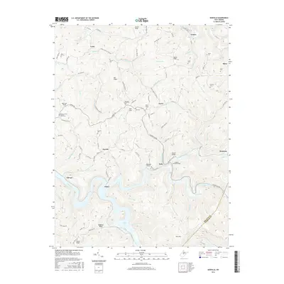
2016 Map of Newville
USGS Topo · Published 2016About this map
The Little Kanawha River and the expansive Sutton Lake define the southern landscape of this Braxton County region. Numerous family-named cemeteries, such as Hamner Cem, Kniceley Cem, and Gibson Cem, are scattered across the ridges, providing a clear map for genealogical research in small communities like Newville, Caress, and Gregory. The terrain is characterized by a series of prominent elevations, including Keener Ridge and Morrison Ridge, which separate the various forks and runs that feed into the river system.
Find a feature on this map
110 named features on this map. Tap any name to fly to it.
Don’t see what you’re looking for? This feature index may not catch every label — zoom into the map to look around manually.
Map Details
Editions of this 2016 Newville Map
This is the sole edition of this map. No revisions or reprints were ever made.
Other maps of this area

1893 · Buckhannon
USGS Topo · 1:125,000

1893 · Sutton
USGS Topo · 1:125,000

1896 · Buckhannon
USGS Topo · 1:125,000

1897 · Buckhannon
USGS Topo · 1:125,000

1906 · Burnsville
USGS Topo · 1:62,500

1908 · Sutton
USGS Topo · 1:48,000

1910 · Sutton Special
USGS Topo · 1:62,500

1912 · Crawford
USGS Topo · 1:48,000

1913 · Hacker Valley
USGS Topo · 1:48,000

1914 · Crawford
USGS Topo · 1:62,500