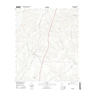
2014 Map of Newville
USGS Topo · Published 2014About this map
Newville and Headland anchor this Henry County landscape, situated along the corridor formed by Us-431 and the Al-173. The terrain is defined by an intricate network of waterways, most notably the E Fork Choctawhatchee River and its various tributaries like Murphy Gin Br and Clemmons Gin Br, names that suggest the agricultural processing history of the region.
Find a feature on this map
93 named features on this map. Tap any name to fly to it.
Don’t see what you’re looking for? This feature index may not catch every label — zoom into the map to look around manually.
Map Details
Editions of this 2014 Newville Map
This is the sole edition of this map. No revisions or reprints were ever made.
Other maps of this area

1953 · Dothan
USGS Topo · 1:250,000

1954 · Dothan
USGS Topo · 1:250,000

1955 · Dothan
USGS Topo · 1:250,000

1969 · Abbeville West
USGS Topo · 1:24,000
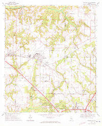
1969 · Midland City
USGS Topo · 1:24,000
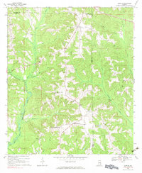
1969 · Clopton
USGS Topo · 1:24,000

1969 · Headland
USGS Topo · 1:24,000

1969 · Abbeville East
USGS Topo · 1:24,000
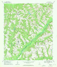
1969 · Echo
USGS Topo · 1:24,000

1969 · Newville
USGS Topo · 1:24,000