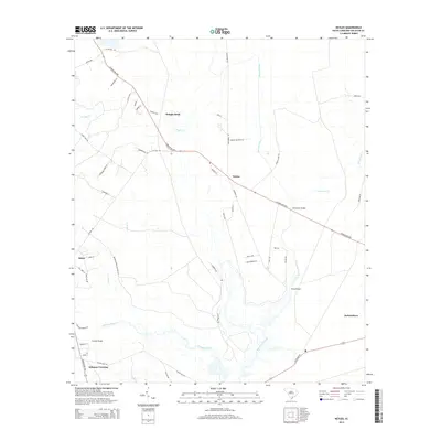
2014 Map of Neyles
USGS Topo · Published 2014About this map
The Ashepoo River and its intricate network of tributaries define this Colleton County landscape, where the tidal Lowcountry terrain is punctuated by historic crossings and sprawling hunting grounds. The primary corridor of the Charleston Hwy links the settlements of Neyles and Jacksonboro, crossing over the Horseshoe Creek at the Horseshoe Bridge. To the southwest, the Bonnie Doone Hunting Clb occupies a significant portion of the river basin, reflecting the region's long-standing land-use traditions. Smaller communities like Ritter and Ashepoo Crossing are connected by a web of local roads, including the evocatively named Wood Ford Plnt Ln and Tall Tree Ln. Genealogists and local historians can trace the relationship between these early settlements and the water, with several vital spans such as Price Bridge and Ivanhoe Bridge serving as critical nodes in the local infrastructure.
Find a feature on this map
55 named features on this map. Tap any name to fly to it.
Don’t see what you’re looking for? This feature index may not catch every label — zoom into the map to look around manually.
Map Details
Editions of this 2014 Neyles Map
This is the sole edition of this map. No revisions or reprints were ever made.
Other maps of this area

1918 · Walterboro
USGS Topo · 1:62,500

1918 · Green Pond
USGS Topo · 1:62,500

1918 · Cottageville
USGS Topo · 1:62,500

1919 · Edisto Island
USGS Topo · 1:62,500

1943 · Cottageville
USGS Topo · 1:62,500

1943 · Edisto Island
USGS Topo · 1:62,500

1943 · Green Pond
USGS Topo · 1:62,500

1943 · Walterboro
USGS Topo · 1:62,500

1947 · Savannah
USGS Topo · 1:250,000

1948 · Savannah
USGS Topo · 1:250,000