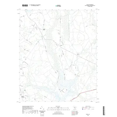
2020 Map of Neyles
USGS Topo · Published 2020About this map
The Ashepoo River and its intricate network of tributaries define this Colleton County landscape, where small settlements like Neyles and Pringle Bend are situated amidst an expansive lowcountry terrain of swamps and creeks. The geography is characterized by its heavy saturation, featuring the wide Tupelo Swamp and the winding course of Horseshoe Creek. Transport and access in this water-dominant environment are anchored by specific crossings, including Price Bridge, Horseshoe Bridge, and Ivanhoe Bridge.
Find a feature on this map
58 named features on this map. Tap any name to fly to it.
Don’t see what you’re looking for? This feature index may not catch every label — zoom into the map to look around manually.
Map Details
Editions of this 2020 Neyles Map
This is the sole edition of this map. No revisions or reprints were ever made.
Other maps of this area

1918 · Walterboro
USGS Topo · 1:62,500

1918 · Green Pond
USGS Topo · 1:62,500

1918 · Cottageville
USGS Topo · 1:62,500

1919 · Edisto Island
USGS Topo · 1:62,500

1943 · Cottageville
USGS Topo · 1:62,500

1943 · Edisto Island
USGS Topo · 1:62,500

1943 · Green Pond
USGS Topo · 1:62,500

1943 · Walterboro
USGS Topo · 1:62,500

1947 · Savannah
USGS Topo · 1:250,000

1948 · Savannah
USGS Topo · 1:250,000