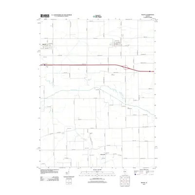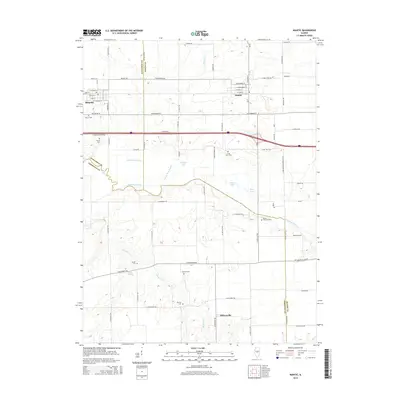
2024 Map of Niantic
USGS Topo · Published 2024About this map
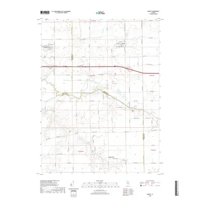
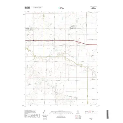
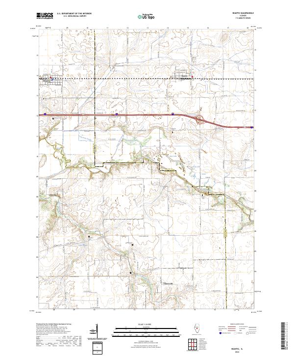
Illiopolis and Niantic anchor the northern reaches of this central Illinois landscape, where the agricultural grid meets the winding course of the Sangamon River. The terrain is shaped by the subtle shifts of the river valley, featuring backwater areas like Goose Neck Slough, Long Point Slough, and Calamus Lake. This 2024 survey documents the enduring layout of rural Macon and Christian counties, preserving the locations of numerous historic burial sites that speak to the area's deep-rooted settlement history, including Wilcox Cem and Berea Cem.
Find a feature on this map
97 named features on this map. Tap any name to fly to it.
Don’t see what you’re looking for? This feature index may not catch every label — zoom into the map to look around manually.
Map Details
Editions of this 2024 Niantic Map
This is the sole edition of this map. No revisions or reprints were ever made.
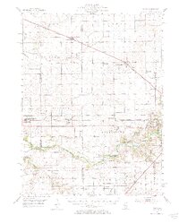
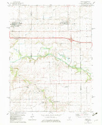
Historical Maps of Illiopolis Through Time
7 maps found