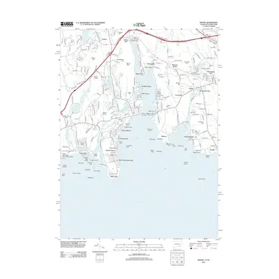
2012 Map of Niantic
USGS Topo · Published 2012About this map
The Niantic River divides a coastline defined by intricate inlets and established residential enclaves in this 2012 survey of the New London area. Communities like Flanders, Oswegatchie, and Jordan anchor the inland landscape, while the shoreline is a series of distinct beaches and points, from Attawan Beach to Pleasure Beach. The map reveals a high concentration of local history markers, including Stone Church Cem, Union Cem, and the Congregation Ohave Sholem Cem.
Find a feature on this map
125 named features on this map. Tap any name to fly to it.
Don’t see what you’re looking for? This feature index may not catch every label — zoom into the map to look around manually.
Map Details
Editions of this 2012 Niantic Map
This is the sole edition of this map. No revisions or reprints were ever made.
Other maps of this area

1892 · New London
USGS Topo · 1:62,500

1893 · New London
USGS Topo · 1:62,500

1893 · Saybrook
USGS Topo · 1:62,500

1903 · Gardiners Island
USGS Topo · 1:62,500

1904 · Gardiners Island
USGS Topo · 1:62,500

1921 · Gardiners Island
USGS Topo · 1:62,500

1921 · New London
USGS Topo · 1:62,500

1934 · Niantic
USGS Topo · 1:24,000

1935 · Montville
USGS Topo · 1:24,000

1938 · New London
USGS Topo · 1:31,680