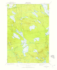
1932 Map of Nicatous Lake
USGS Topo · Published 1959About this map
Nicatous Lake serves as the focal point for this wilderness survey of Hancock, Washington, and Penobscot counties, showing the interior of eastern Maine as it was surveyed in the early 1930s. The landscape is defined by an intricate network of waterways, including the Passadumkeag River and the sprawling Pistol Stream system. Small outpost settlements such as the Nicatous Club and Poplar Tavern highlight the region's legacy as a destination for sportsmen and timber workers, while the presence of No 6 Camp and No 2 Camp points to the area's active logging history.
Find a feature on this map
100 named features on this map. Tap any name to fly to it.
Don’t see what you’re looking for? This feature index may not catch every label — zoom into the map to look around manually.
Map Details
Editions of this 1932 Nicatous Lake Map
4 editions found
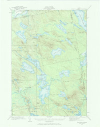
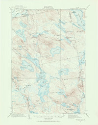
Other maps of this area

1920 · Winn
USGS Topo · 1:62,500

1929 · Great Pond
USGS Topo · 1:48,000

1929 · Lead Mountain
USGS Topo · 1:48,000

1931 · Springfield
USGS Topo · 1:48,000

1931 · Saponac
USGS Topo · 1:48,000

1932 · Nicatous Lake
USGS Topo · 1:48,000

1932 · Lead Mountain
USGS Topo · 1:62,500

1932 · Great Pond
USGS Topo · 1:62,500

1934 · Saponac
USGS Topo · 1:62,500

1934 · Nicatous Lake
USGS Topo · 1:62,500