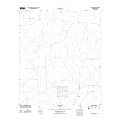
2012 Map of Niceville SE
USGS Topo · Published 2012About this map
The Eglin Air Force Base reservation area and surrounding Walton County landscape are defined by a complex network of named branches and creeks. Military infrastructure is prominent through USAF Range Road 212, while local history is preserved at small burial sites including Black Oak Cem, Brown Cem, and Hewas Cem. The hydrology is particularly diverse, with uniquely named watercourses like Bully Horselot Br, Pochanee Br, and Rail Tree Br feeding into larger systems like Rocky Cr and Basin Cr. This 2012 survey illustrates the intersection of federal military lands and the rural Florida Panhandle, where historical markers like the Jackson Trl and Schoolhouse Br suggest the region's earlier civilian character before the expansion of modern range facilities.
Find a feature on this map
40 named features on this map. Tap any name to fly to it.
Don’t see what you’re looking for? This feature index may not catch every label — zoom into the map to look around manually.
Map Details
Editions of this 2012 Niceville SE Map
This is the sole edition of this map. No revisions or reprints were ever made.
Other maps of this area

1934 · Niceville
USGS Topo · 1:48,000

1935 · Villa Tasso
USGS Topo · 1:48,000

1935 · De Funiak Springs
USGS Topo · 1:48,000

1936 · Niceville
USGS Topo · 1:62,500

1936 · Point Washington
USGS Topo · 1:48,000

1938 · Villa Tasso
USGS Topo · 1:62,500

1938 · De Funiak Springs
USGS Topo · 1:62,500

1939 · Point Washington
USGS Topo · 1:62,500

1956 · Niceville
USGS Topo · 1:62,500

1956 · Villa Tasso
USGS Topo · 1:62,500