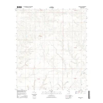
2015 Map of Niceville SE
USGS Topo · Published 2015About this map
Rocky Creek and its many tributaries define this section of the Florida Panhandle, where the land is carved by a dense network of headwaters and branches. The terrain is characterized by intricate drainage patterns, with family-named or descriptive landmarks like Painter Horselot Branch, Bully Horselot Branch, and Yellow Root Branch feeding into larger systems. This landscape suggests a history of localized land use where specific water sources were key identifiers for residents.
Find a feature on this map
42 named features on this map. Tap any name to fly to it.
Don’t see what you’re looking for? This feature index may not catch every label — zoom into the map to look around manually.
Map Details
Editions of this 2015 Niceville SE Map
This is the sole edition of this map. No revisions or reprints were ever made.
Other maps of this area

1934 · Niceville
USGS Topo · 1:48,000

1935 · Villa Tasso
USGS Topo · 1:48,000

1935 · De Funiak Springs
USGS Topo · 1:48,000

1936 · Niceville
USGS Topo · 1:62,500

1936 · Point Washington
USGS Topo · 1:48,000

1938 · Villa Tasso
USGS Topo · 1:62,500

1938 · De Funiak Springs
USGS Topo · 1:62,500

1939 · Point Washington
USGS Topo · 1:62,500

1956 · Niceville
USGS Topo · 1:62,500

1956 · Villa Tasso
USGS Topo · 1:62,500