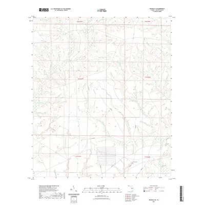
2021 Map of Niceville SE
USGS Topo · Published 2021About this map
Rocky Creek and its extensive network of tributaries dominate this Walton County landscape, which is defined by a dense system of headwater branches and creeks. Named features such as Schoolhouse Br, Bully Horselot Br, and Mattress Head Br suggest a history of local land use and naming conventions tied to specific landmarks or past activities. The southern portion of the area shows more recent infrastructure developments, while the northern sections remain focused on the natural drainage of E Rocky Cr and Middle Creek.
Find a feature on this map
45 named features on this map. Tap any name to fly to it.
Don’t see what you’re looking for? This feature index may not catch every label — zoom into the map to look around manually.
Map Details
Editions of this 2021 Niceville SE Map
This is the sole edition of this map. No revisions or reprints were ever made.
Other maps of this area

1934 · Niceville
USGS Topo · 1:48,000

1935 · Villa Tasso
USGS Topo · 1:48,000

1935 · De Funiak Springs
USGS Topo · 1:48,000

1936 · Niceville
USGS Topo · 1:62,500

1936 · Point Washington
USGS Topo · 1:48,000

1938 · Villa Tasso
USGS Topo · 1:62,500

1938 · De Funiak Springs
USGS Topo · 1:62,500

1939 · Point Washington
USGS Topo · 1:62,500

1956 · Niceville
USGS Topo · 1:62,500

1956 · Villa Tasso
USGS Topo · 1:62,500