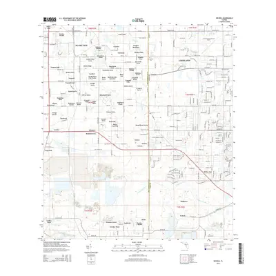
2015 Map of Nichols
USGS Topo · Published 2015About this map
The N Prong Alafia River and its many tributaries, including English Cr and Howell Br, carve through this central Florida landscape where the rural agricultural past meets modern aviation and suburban expansion. The western edge is anchored by the outskirts of Plant City, while the northeast is dominated by the Lakeland Linder Regional Airport. Numerous family-named residential developments and small settlements are scattered throughout, such as Coronet, Bealsville, and Alderman, many reflecting the region's mid-century growth. Traces of older communities are found at the Springhead Cem, while specialized transit nodes like MeWetherbee Junction and the South Lakeland Airport highlight the area's role as a logistical hub between major population centers.
Find a feature on this map
246 named features on this map. Tap any name to fly to it.
Don’t see what you’re looking for? This feature index may not catch every label — zoom into the map to look around manually.
Map Details
Editions of this 2015 Nichols Map
This is the sole edition of this map. No revisions or reprints were ever made.
Other maps of this area

1944 · Plant City
USGS Topo · 1:31,680

1944 · Lakeland
USGS Topo · 1:31,680

1944 · Antioch
USGS Topo · 1:31,680

1949 · Mulberry
USGS Topo · 1:24,000

1949 · Bradley Junction
USGS Topo · 1:24,000

1950 · Mulberry
USGS Topo · 1:24,000

1950 · Bradley Junction
USGS Topo · 1:24,000

1955 · Lithia
USGS Topo · 1:24,000

1955 · Nichols
USGS Topo · 1:24,000

1955 · Dover
USGS Topo · 1:24,000