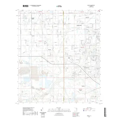
2021 Map of Nichols
USGS Topo · Published 2021About this map
Bealsville and the surrounding citrus and agricultural lands south of Plant City define this modern look at the border of Hillsborough and Polk Counties. The landscape is heavily influenced by water systems, including the N Prong Alafia River and Poley Creek, which thread through areas of active land use and rural residential clusters. Long-standing local landmarks such as Springhead Cem and the community of Willow Oak provide geographic anchors for those researching family ties in this part of Florida.
Find a feature on this map
187 named features on this map. Tap any name to fly to it.
Don’t see what you’re looking for? This feature index may not catch every label — zoom into the map to look around manually.
Map Details
Editions of this 2021 Nichols Map
This is the sole edition of this map. No revisions or reprints were ever made.
Other maps of this area

1944 · Plant City
USGS Topo · 1:31,680

1944 · Lakeland
USGS Topo · 1:31,680

1944 · Antioch
USGS Topo · 1:31,680

1949 · Mulberry
USGS Topo · 1:24,000

1949 · Bradley Junction
USGS Topo · 1:24,000

1950 · Mulberry
USGS Topo · 1:24,000

1950 · Bradley Junction
USGS Topo · 1:24,000

1955 · Lithia
USGS Topo · 1:24,000

1955 · Nichols
USGS Topo · 1:24,000

1955 · Dover
USGS Topo · 1:24,000