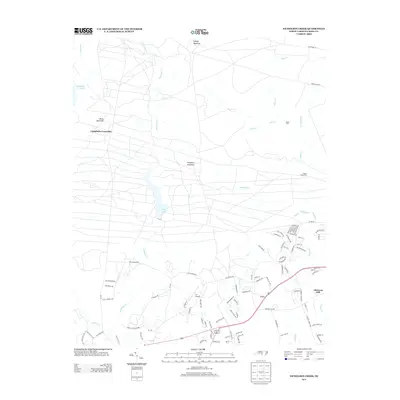
2013 Map of Nicholson Creek
USGS Topo · Published 2013About this map
Johnsons Mill and the surrounding pine-bordered watersheds of Hoke and North Carolina counties are captured in this 2013 survey. The landscape is defined by its complex network of watercourses, including Nicholson Cr, Black Cr, and Puppy Cr, which cut through the sandy terrain. While modest elevations like Gaddys Mountain and Finlayson Mountain provide localized relief, the area's geography is largely shaped by the slow-moving drainage patterns feeding into Mott Lake.
Find a feature on this map
104 named features on this map. Tap any name to fly to it.
Don’t see what you’re looking for? This feature index may not catch every label — zoom into the map to look around manually.
Map Details
Editions of this 2013 Nicholson Creek Map
This is the sole edition of this map. No revisions or reprints were ever made.
Other maps of this area

1948 · Southern Pines
USGS Topo · 1:62,500

1948 · Clifdale
USGS Topo · 1:62,500

1948 · Nicholson Creek
USGS Topo · 1:24,000

1948 · Clifdale
USGS Topo · 1:24,000

1948 · Mc Cain
USGS Topo · 1:24,000

1949 · Wagram
USGS Topo · 1:24,000

1949 · Laurinburg
USGS Topo · 1:62,500

1950 · Clifdale
USGS Topo · 1:24,000

1950 · Sanatorium
USGS Topo · 1:24,000

1950 · Lobelia
USGS Topo · 1:24,000