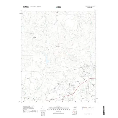
2019 Map of Nicholson Creek
USGS Topo · Published 2019About this map
Campbells Crossroad and Silver City anchor this Hoke County landscape, where the Sandhills terrain transitions between pine forests and residential growth. Central to the map's geography is Mott Lake, which feeds into Nicholson Cr as it winds through a series of named elevations including Finlayson Mtn, Gaddys Mtn, and Blues Mtn. The southern portion of the sheet reveals a concentration of modern infrastructure and aviation history, notably the Raeford West Airport and P K Airpark.
Find a feature on this map
72 named features on this map. Tap any name to fly to it.
Don’t see what you’re looking for? This feature index may not catch every label — zoom into the map to look around manually.
Map Details
Editions of this 2019 Nicholson Creek Map
This is the sole edition of this map. No revisions or reprints were ever made.
Other maps of this area

1948 · Southern Pines
USGS Topo · 1:62,500

1948 · Clifdale
USGS Topo · 1:62,500

1948 · Nicholson Creek
USGS Topo · 1:24,000

1948 · Clifdale
USGS Topo · 1:24,000

1948 · Mc Cain
USGS Topo · 1:24,000

1949 · Wagram
USGS Topo · 1:24,000

1949 · Laurinburg
USGS Topo · 1:62,500

1950 · Clifdale
USGS Topo · 1:24,000

1950 · Sanatorium
USGS Topo · 1:24,000

1950 · Lobelia
USGS Topo · 1:24,000