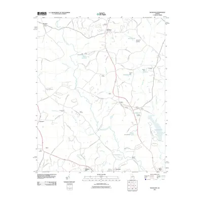
2011 Map of Nicholson
USGS Topo · Published 2011About this map
The North Oconee River winds through this landscape near the community of Nicholson, where a network of rural routes and farm-to-market roads connects several small settlements. The area is marked by numerous family and community burial grounds, including the Nicholson City Cemetery, Antioch Cemetery, and the Mizpah Cemetery, which provide significant points of interest for genealogists tracing local lineages. Water management is a visible priority across the terrain, evidenced by several engineered features such as Sandy Creek Structure Eight Dam and Lake Yamacutah, which sits behind the Stapler Dam.
Find a feature on this map
95 named features on this map. Tap any name to fly to it.
Don’t see what you’re looking for? This feature index may not catch every label — zoom into the map to look around manually.
Map Details
Editions of this 2011 Nicholson Map
This is the sole edition of this map. No revisions or reprints were ever made.
Other maps of this area

1891 · Gainesville
USGS Topo · 1:125,000

1891 · Carnesville
USGS Topo · 1:125,000

1896 · Monroe
USGS Topo · 1:125,000

1953 · Athens
USGS Topo · 1:250,000

1954 · Greenville
USGS Topo · 1:250,000

1958 · Greenville
USGS Topo · 1:250,000

1958 · Athens
USGS Topo · 1:250,000

1959 · Athens
USGS Topo · 1:250,000

1963 · Athens
USGS Topo · 1:250,000

1964 · Commerce
USGS Topo · 1:24,000