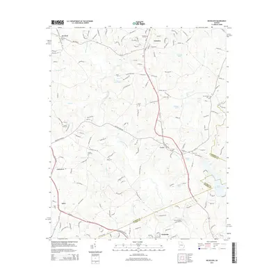
2014 Map of Nicholson
USGS Topo · Published 2014About this map
Nicholson and the surrounding rural communities of Center and Brockton sit within a landscape defined by the branching tributaries of the North Oconee River. This 2014 survey documents the dense network of local roads and family-named cemeteries that characterize this portion of Jackson and Clarke counties. Notable landmarks include the recreational and agricultural waters of Lake Yamacutah, Jarrett Lake, and Bishops Lake, which dot the terrain alongside creek systems like Cabin Cr and Sandy Cr.
Find a feature on this map
156 named features on this map. Tap any name to fly to it.
Don’t see what you’re looking for? This feature index may not catch every label — zoom into the map to look around manually.
Map Details
Editions of this 2014 Nicholson Map
This is the sole edition of this map. No revisions or reprints were ever made.
Other maps of this area

1891 · Gainesville
USGS Topo · 1:125,000

1891 · Carnesville
USGS Topo · 1:125,000

1896 · Monroe
USGS Topo · 1:125,000

1953 · Athens
USGS Topo · 1:250,000

1954 · Greenville
USGS Topo · 1:250,000

1958 · Greenville
USGS Topo · 1:250,000

1958 · Athens
USGS Topo · 1:250,000

1959 · Athens
USGS Topo · 1:250,000

1963 · Athens
USGS Topo · 1:250,000

1964 · Commerce
USGS Topo · 1:24,000