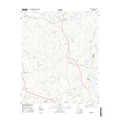
2017 Map of Nicholson
USGS Topo · Published 2017About this map
The North Oconee River meanders through this portion of Jackson and Clarke Counties, defining a landscape of agricultural roads and scattered rural settlements. The city of Nicholson serves as a central hub, anchored by the Nicholson City Sch and the adjacent Nicholson City Cem. Smaller communities like Brockton, Clarksboro, and Attica are connected by a network of named roads such as Jefferson Rd and Old Jefferson Rd, reflecting the long-established transit patterns of the Georgia Piedmont.
Find a feature on this map
145 named features on this map. Tap any name to fly to it.
Don’t see what you’re looking for? This feature index may not catch every label — zoom into the map to look around manually.
Map Details
Editions of this 2017 Nicholson Map
This is the sole edition of this map. No revisions or reprints were ever made.
Other maps of this area

1891 · Gainesville
USGS Topo · 1:125,000

1891 · Carnesville
USGS Topo · 1:125,000

1896 · Monroe
USGS Topo · 1:125,000

1953 · Athens
USGS Topo · 1:250,000

1954 · Greenville
USGS Topo · 1:250,000

1958 · Greenville
USGS Topo · 1:250,000

1958 · Athens
USGS Topo · 1:250,000

1959 · Athens
USGS Topo · 1:250,000

1963 · Athens
USGS Topo · 1:250,000

1964 · Commerce
USGS Topo · 1:24,000