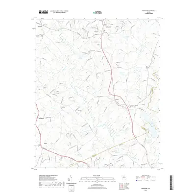
2020 Map of Nicholson
USGS Topo · Published 2020About this map
The North Oconee River winds through the heart of this North Georgia landscape, delineating the border between Jackson and Clarke Counties. This rural region is punctuated by long-established crossroads and small communities like Nicholson, Center, and Attica, where life centers around historic congregations and family burial grounds. Notable sites include Attica Baptist Cem and Mizpah Cem, which serve as vital touchstones for genealogical research in the area.
Find a feature on this map
161 named features on this map. Tap any name to fly to it.
Don’t see what you’re looking for? This feature index may not catch every label — zoom into the map to look around manually.
Map Details
Editions of this 2020 Nicholson Map
This is the sole edition of this map. No revisions or reprints were ever made.
Other maps of this area

1891 · Gainesville
USGS Topo · 1:125,000

1891 · Carnesville
USGS Topo · 1:125,000

1896 · Monroe
USGS Topo · 1:125,000

1953 · Athens
USGS Topo · 1:250,000

1954 · Greenville
USGS Topo · 1:250,000

1958 · Greenville
USGS Topo · 1:250,000

1958 · Athens
USGS Topo · 1:250,000

1959 · Athens
USGS Topo · 1:250,000

1963 · Athens
USGS Topo · 1:250,000

1964 · Commerce
USGS Topo · 1:24,000