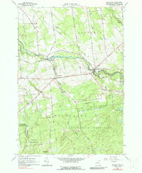
1964 Map of Nicholville
USGS Topo · Published 1988About this map
The St Regis River carves a winding path through this northern New York landscape, linking the historic hamlets of Fort Jackson and Nicholville. This mid-century topographic study captures a transition between the settled farmland of Stockholm and Lawrence townships and the dense wilderness of the Adirondack State Park to the south. In Hopkinton, several significant burial grounds including Hillcrest Cem and the Fort Jackson Hopkinton Cem provide critical touchpoints for genealogical research. The terrain is defined by a dense network of tributaries such as Trout Brook, Allen Brook, and Lake Ozonia Brook feeding into the larger river systems. Beyond the river valleys, the landscape rises toward Independent Hill, with much of the southern portion of the quadrangle preserved within St Lawrence State Forest No 8.
Find a feature on this map
50 named features on this map. Tap any name to fly to it.
Don’t see what you’re looking for? This feature index may not catch every label — zoom into the map to look around manually.
Map Details
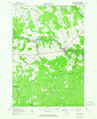
Editions of this 1964 Nicholville Map
2 editions found
Other maps of this area

1906 · Massena
USGS Topo · 1:62,500

1907 · Massena
USGS Topo · 1:62,500

1908 · Potsdam
USGS Topo · 1:62,500

1915 · Moira
USGS Topo · 1:62,500

1917 · Moira
USGS Topo · 1:62,500

1919 · Nicholville
USGS Topo · 1:62,500

1921 · Nicholville
USGS Topo · 1:62,500

1942 · Long Bow
USGS Topo · 1:24,000
1943 · Parishville
USGS Topo · 1:31,680
1943 · Long Bow
USGS Topo · 1:31,680