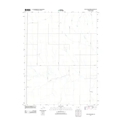
2012 Map of Nickel Mine Spring
USGS Topo · Published 2012About this map
Nickel Mine Spring stands as a focal point in this Logan County landscape, highlighting a region defined by its vital water sources and sparse, grid-like road network. The terrain is navigated by a series of named rural routes, including Lariat, Kiowa, Hunter, and Fawn, which follow the section lines of the High Plains. This 2012 survey illustrates the enduring agricultural and ranching layout of western Kansas, where water landmarks like the spring were historically critical for livestock and early travelers. The map provides a clear look at the intersection of natural hydrology and the systematic land divisions that characterize this portion of the state.
Find a feature on this map
5 named features on this map. Tap any name to fly to it.
Don’t see what you’re looking for? This feature index may not catch every label — zoom into the map to look around manually.
Map Details
Editions of this 2012 Nickel Mine Spring Map
This is the sole edition of this map. No revisions or reprints were ever made.
Other maps of this area

1939 · Pence
USGS Topo · 1:62,500

1941 · Pence
USGS Topo · 1:62,500

1955 · Scott City
USGS Topo · 1:250,000

1958 · Scott City
USGS Topo · 1:250,000

1968 · Russell Springs 3 NW
USGS Topo · 1:24,000

1968 · Russell Springs 3 NE
USGS Topo · 1:24,000

1969 · Russell Springs 2 NW
USGS Topo · 1:24,000

1969 · Russell Springs 2 SW
USGS Topo · 1:24,000

1969 · Russell Springs 2 NE
USGS Topo · 1:24,000

1969 · Russell Springs 2 SE
USGS Topo · 1:24,000