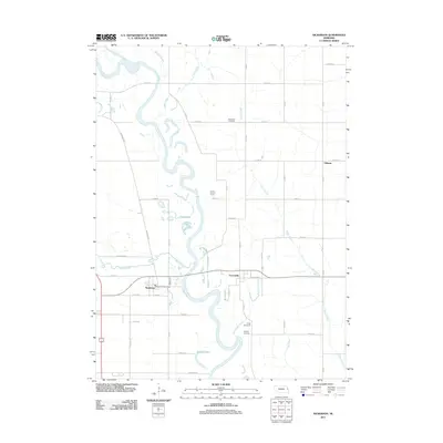
2011 Map of Nickerson
USGS Topo · Published 2011About this map
The Elkhorn River meanders through this eastern Nebraska landscape, defining a terrain of river loops and oxbows such as Snyder Lake and Moss Lake. The village of Nickerson serves as a local hub near the confluence of Maple Creek and the river, featuring the Nickerson Post Office at its center. This 2011 survey captures the agricultural and community fabric of the area, where rural life is anchored by longstanding sites like Immanuel Cemetery and the settlement of Fontanelle.
Find a feature on this map
53 named features on this map. Tap any name to fly to it.
Don’t see what you’re looking for? This feature index may not catch every label — zoom into the map to look around manually.
Map Details
Editions of this 2011 Nickerson Map
This is the sole edition of this map. No revisions or reprints were ever made.
Other maps of this area

1893 · Fremont
USGS Topo · 1:125,000

1896 · Fremont
USGS Topo · 1:125,000

1899 · Wahoo
USGS Topo · 1:125,000

1955 · Fremont
USGS Topo · 1:250,000

1957 · Fremont
USGS Topo · 1:250,000

1958 · Fremont
USGS Topo · 1:250,000

1966 · Uehling
USGS Topo · 1:24,000

1966 · Nickerson
USGS Topo · 1:24,000

1966 · Hooper
USGS Topo · 1:24,000

1966 · Nickerson NW
USGS Topo · 1:24,000