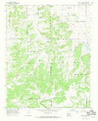
1967 Map of Nicoll Lake
USGS Topo · Published 1971About this map
Candy Kitchen and the surrounding high desert terrain define this mid-century topographic record of the Zuni Plateau region. Located within the Ramah Indian Reservation, the landscape is characterized by a complex network of seasonal drainages, including Medio Draw, Loma del Draw, and White Horse Draw, which channel runoff through the arid basins. The presence of the Ramah Navajo Community Center in the north indicates the center of local social and administrative life for the Navajo community during the late 1960s. To the east, the eponymous Nicoll Lake sits at the foot of rising elevations. This survey also documents the administrative divide of the McKinley and Valencia County line, offering a precise look at the land use and indigenous land boundaries before modern development and regional reorganization.
Find a feature on this map
12 named features on this map. Tap any name to fly to it.
Don’t see what you’re looking for? This feature index may not catch every label — zoom into the map to look around manually.
Map Details
Editions of this 1967 Nicoll Lake Map
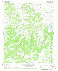
2 editions found
Other maps of this area

1886 · Wingate
USGS Topo · 1:250,000

1892 · Wingate
USGS Topo · 1:250,000

1954 · Saint Johns
USGS Topo · 1:250,000

1954 · Gallup
USGS Topo · 1:250,000

1957 · Saint Johns
USGS Topo · 1:250,000

1958 · Gallup
USGS Topo · 1:250,000

1958 · Saint Johns
USGS Topo · 1:250,000

1959 · Gallup
USGS Topo · 1:250,000

1962 · Gallup
USGS Topo · 1:250,000

1962 · Saint Johns
USGS Topo · 1:250,000
Featured Places
- Eastern Navajo Agency, NM
- Pinehill, Eastern Navajo Agency
- Mountain View, Eastern Navajo Agency
- McKinley County, NM
- Cibola County, NM