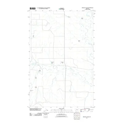
2011 Map of Nielsen Coulee
USGS Topo · Published 2011About this map
Poplar River and the West Fork Poplar River dominate this northeastern Montana landscape, where the meandering waterways are managed by a series of small-scale infrastructure projects. These water-control efforts, including the Christensen Number 1 Dam, Christensen Number 2 Dam, Pratt Dam, and the curiously named Below Zero Dam, suggest a cattle-ranching or agricultural economy reliant on seasonal water management. The terrain is defined by its drainages, with named coulees like Nielsen Coulee, Cabarett Coulee, and Jakes Coulee cutting through the plains toward the riverbeds. A sparse road network, featuring Lekvold Rd and 3 Corners Rd, connects the isolated features of this rural district, which remains focused on the primary river valleys and the critical access to water they provide in this arid region.
Find a feature on this map
16 named features on this map. Tap any name to fly to it.
Don’t see what you’re looking for? This feature index may not catch every label — zoom into the map to look around manually.
Map Details
Editions of this 2011 Nielsen Coulee Map
This is the sole edition of this map. No revisions or reprints were ever made.
Other maps of this area

1910 · Cuskers
USGS Topo · 1:62,500

1915 · Tule Valley
USGS Topo · 1:62,500

1915 · Cuskers
USGS Topo · 1:62,500

1954 · Wolf Point
USGS Topo · 1:250,000

1958 · Wolf Point
USGS Topo · 1:250,000

1973 · Peerless 4 NE
USGS Topo · 1:24,000

1973 · Bredette
USGS Topo · 1:24,000

1973 · Line Coulee
USGS Topo · 1:24,000

1973 · Nielsen Coulee
USGS Topo · 1:24,000

1973 · Cabarett Coulee
USGS Topo · 1:24,000