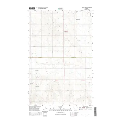
2014 Map of Nielsen Coulee
USGS Topo · Published 2014About this map
Nielsen Coulee and Cabarett Coulee carve through the high plains of northeastern Montana, defining a landscape shaped by intermittent drainage and agricultural boundaries. This survey captures the transition between Daniels and Roosevelt Counties during the early 21st century, where large-scale ranching and farming operations are linked by a network of rural routes. The map shows how topographical features like Jakes Coulee and Reiner Coulee dictate the placement of roads such as Hog Barn Rd and Lekvold Rd. While much of the terrain is dedicated to open range and field, the precise labeling of drainage systems like Krause Coulee provides essential markers for local history and land management. The presence of Mt-13 serves as the primary north-south corridor, connecting these remote coulees to the broader region.
Find a feature on this map
21 named features on this map. Tap any name to fly to it.
Don’t see what you’re looking for? This feature index may not catch every label — zoom into the map to look around manually.
Map Details
Editions of this 2014 Nielsen Coulee Map
This is the sole edition of this map. No revisions or reprints were ever made.
Other maps of this area

1910 · Cuskers
USGS Topo · 1:62,500

1915 · Tule Valley
USGS Topo · 1:62,500

1915 · Cuskers
USGS Topo · 1:62,500

1954 · Wolf Point
USGS Topo · 1:250,000

1958 · Wolf Point
USGS Topo · 1:250,000

1973 · Peerless 4 NE
USGS Topo · 1:24,000

1973 · Bredette
USGS Topo · 1:24,000

1973 · Line Coulee
USGS Topo · 1:24,000

1973 · Nielsen Coulee
USGS Topo · 1:24,000

1973 · Cabarett Coulee
USGS Topo · 1:24,000