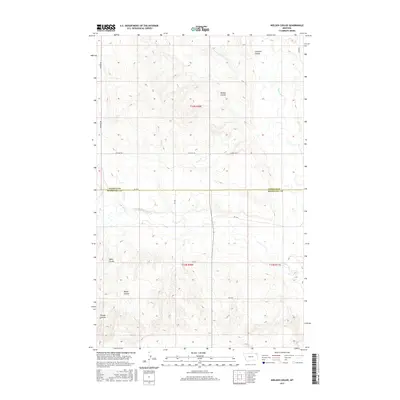
2017 Map of Nielsen Coulee
USGS Topo · Published 2017About this map
The W Fork Poplar River meanders across the southern landscape of this 2017 survey, defining a terrain shaped by a series of distinct drainage features. These coulees, bearing surnames such as Jakes Coulee, Reiner Coulee, and Krause Coulee, suggest a history of family-based landholdings and ranching in the Daniels and Roosevelt County borderlands. The hydrology is dominated by the Poplar River system, which draws from northern tributaries like Cabarett Coulee and Nielsen Coulee.
Find a feature on this map
18 named features on this map. Tap any name to fly to it.
Don’t see what you’re looking for? This feature index may not catch every label — zoom into the map to look around manually.
Map Details
Editions of this 2017 Nielsen Coulee Map
This is the sole edition of this map. No revisions or reprints were ever made.
Other maps of this area

1910 · Cuskers
USGS Topo · 1:62,500

1915 · Tule Valley
USGS Topo · 1:62,500

1915 · Cuskers
USGS Topo · 1:62,500

1954 · Wolf Point
USGS Topo · 1:250,000

1958 · Wolf Point
USGS Topo · 1:250,000

1973 · Peerless 4 NE
USGS Topo · 1:24,000

1973 · Bredette
USGS Topo · 1:24,000

1973 · Line Coulee
USGS Topo · 1:24,000

1973 · Nielsen Coulee
USGS Topo · 1:24,000

1973 · Cabarett Coulee
USGS Topo · 1:24,000