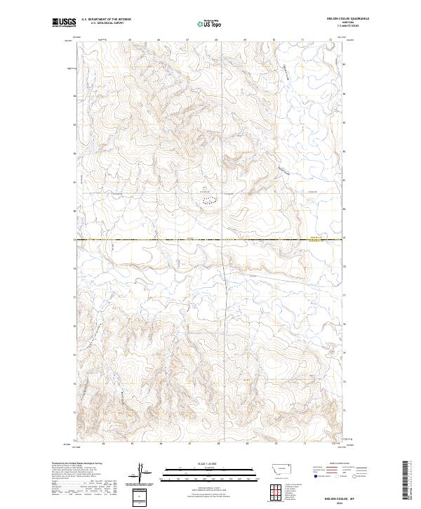
2024 Map of Nielsen Coulee
USGS Topo · Published 2024About this map
Nielsen Coulee and Police Creek carve through this section of the Montana plains, marking the divide between Daniels and Roosevelt counties. The landscape is defined by its deep drainage patterns and a grid-based rural road network that facilitates access across the high prairie. Named local routes such as Lexvold Rd, W Susag Rd, and E Susag Rd serve the surrounding ranchlands, while River Rd follows the terrain in the northeastern corner. Smaller waterways, including Cabarett Coulee, Jakes Coulee, and Krause Coulee, feed into the larger creek systems, revealing the complex hydrography that has shaped the region’s geography. The map provides a clear look at the township and range divisions, specifically highlighting parts of t33n r48e and t32n r48e where the coulees are most pronounced.
Find a feature on this map
20 named features on this map. Tap any name to fly to it.
Don’t see what you’re looking for? This feature index may not catch every label — zoom into the map to look around manually.
Map Details
Editions of this 2024 Nielsen Coulee Map
This is the sole edition of this map. No revisions or reprints were ever made.
Other maps of this area

1910 · Cuskers
USGS Topo · 1:62,500

1915 · Tule Valley
USGS Topo · 1:62,500

1915 · Cuskers
USGS Topo · 1:62,500

1954 · Wolf Point
USGS Topo · 1:250,000

1958 · Wolf Point
USGS Topo · 1:250,000

1973 · Peerless 4 NE
USGS Topo · 1:24,000

1973 · Bredette
USGS Topo · 1:24,000

1973 · Line Coulee
USGS Topo · 1:24,000

1973 · Nielsen Coulee
USGS Topo · 1:24,000

1973 · Cabarett Coulee
USGS Topo · 1:24,000