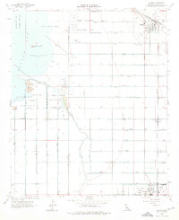
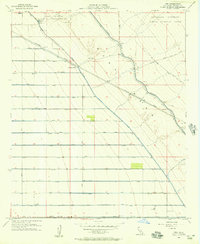
1956 Map of Niland
USGS Topo · Published 1976About this map
Niland and Calipatria anchor an engineered landscape at the southeastern edge of the Salton Sea, where the desert was transformed by an intricate irrigation and drainage network. The topography here is uniquely defined by its depth, with the shoreline recorded at 235 feet below sea level. Natural features like Mullet Island, Red Island, and Rock Hill rise as markers above the shallow waters, while the Alamo River snakes through a grid of alphabetical laterals and drains.
Find a feature on this map
58 named features on this map. Tap any name to fly to it.
Don’t see what you’re looking for? This feature index may not catch every label — zoom into the map to look around manually.
Map Details
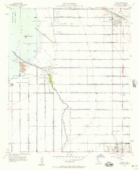
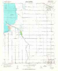
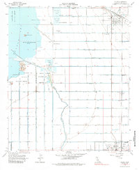
Editions of this 1956 Niland Map
4 editions found
Other maps of this area

1940 · Iris
USGS Topo · 1:62,500

1940 · Frink
USGS Topo · 1:62,500

1940 · Iris Pass
USGS Topo · 1:62,500

1944 · Calipatria
USGS Topo · 1:62,500

1944 · Frink
USGS Topo · 1:62,500

1945 · Iris Pass
USGS Topo · 1:62,500

1945 · Iris
USGS Topo · 1:62,500

1954 · Salton Sea
USGS Topo · 1:250,000

1955 · Salton Sea
USGS Topo · 1:250,000
1956 · Iris
USGS Topo · 1:24,000