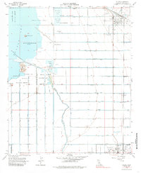
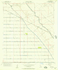
1956 Map of Niland
USGS Topo · Published 1985About this map
Carbon Dioxide Wells and unique mud pots dot the shoreline of the Salton Sea, which sat at an elevation of 235 feet below sea level at the time of this mid-century survey. The landscape is defined by an intricate irrigation and drainage grid designed to tame the Imperial Valley, with dozens of channels like the Vail Lateral and H Lateral feeding into the Alamo River. Significant land is dedicated to conservation, including the Wister Waterfowl Management Area and the Salton Sea Natl Wildlife Refuge. The Southern Pacific railroad corridor serves as the spine for the settlements of Niland and Calipatria, where the Calipatria Airport and Fremont Sch are primary landmarks. This map details a highly engineered agricultural and industrial environment where pumice and gas extraction coexist with wildlife management and small-town growth.
Find a feature on this map
51 named features on this map. Tap any name to fly to it.
Don’t see what you’re looking for? This feature index may not catch every label — zoom into the map to look around manually.
Map Details
Editions of this 1956 Niland Map
4 editions found
Other maps of this area

1940 · Iris
USGS Topo · 1:62,500

1940 · Frink
USGS Topo · 1:62,500

1940 · Iris Pass
USGS Topo · 1:62,500

1944 · Calipatria
USGS Topo · 1:62,500

1944 · Frink
USGS Topo · 1:62,500

1945 · Iris Pass
USGS Topo · 1:62,500

1945 · Iris
USGS Topo · 1:62,500

1954 · Salton Sea
USGS Topo · 1:250,000

1955 · Salton Sea
USGS Topo · 1:250,000
1956 · Iris
USGS Topo · 1:24,000