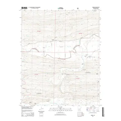
2014 Map of Nimrod
USGS Topo · Published 2014About this map
The South Fourche LaFave River and its sister, the Fourche LaFave River, carve a complex network of valleys through this portion of the Ouachita National Forest. The map documents a landscape where traditional river crossings and small upland settlements remain central to the local geography. Significant riparian landmarks include Rocky Ford, Flynn Ford, and Gill Ford, indicating historical points of passage before modern bridge infrastructure dominated the region.
Find a feature on this map
62 named features on this map. Tap any name to fly to it.
Don’t see what you’re looking for? This feature index may not catch every label — zoom into the map to look around manually.
Map Details
Editions of this 2014 Nimrod Map
This is the sole edition of this map. No revisions or reprints were ever made.
Other maps of this area

1888 · Dardanelle #4
USGS Topo · 1:62,500

1889 · Morrilton No. 3
USGS Topo · 1:62,500

1890 · Benton
USGS Topo · 1:125,000

1890 · Hot Springs
USGS Topo · 1:125,000

1890 · Dardanelle
USGS Topo · 1:125,000

1892 · Morrillton
USGS Topo · 1:125,000

1894 · Morrillton
USGS Topo · 1:125,000

1894 · Hot Springs
USGS Topo · 1:125,000

1894 · Benton
USGS Topo · 1:125,000

1955 · Little Rock
USGS Topo · 1:250,000