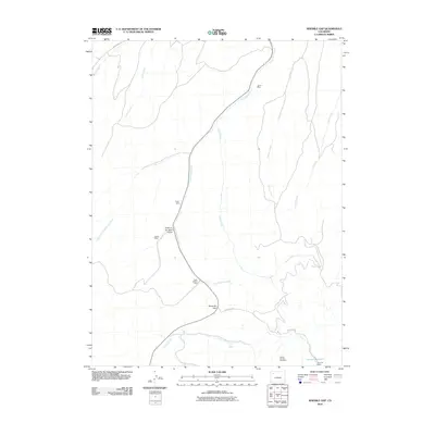
2010 Map of Ninemile Gap
USGS Topo · Published 2010About this map
James Mine and Taylor Mine highlight the industrial footprint in this remote drainage basin at the start of the 21st century. The map centers on the winding course of Good Spring Creek as it flows through the high terrain of Ninemile Gap, a landscape defined by sharp elevation changes and deep natural drainages like Hole-in-the-Wall-Gulch.
Find a feature on this map
19 named features on this map. Tap any name to fly to it.
Don’t see what you’re looking for? This feature index may not catch every label — zoom into the map to look around manually.
Map Details
Editions of this 2010 Ninemile Gap Map
This is the sole edition of this map. No revisions or reprints were ever made.
Other maps of this area

1910 · Danforth Hills
USGS Topo · 1:125,000

1912 · Meeker
USGS Topo · 1:62,500

1912 · Axial
USGS Topo · 1:62,500

1914 · Meeker
USGS Topo · 1:62,500

1914 · Axial
USGS Topo · 1:62,500

1915 · Monument Butte
USGS Topo · 1:62,500

1954 · Craig
USGS Topo · 1:250,000

1957 · Craig
USGS Topo · 1:250,000

1958 · Craig
USGS Topo · 1:250,000

1960 · Craig
USGS Topo · 1:250,000