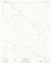
1964 Map of Ninemile Hill
USGS Topo · Published 1980About this map
Lordsburg Mesa dominates this 1964 survey of the Hidalgo County landscape, characterized by a series of critical water sources essential for livestock and the railroad. The Southern Pacific line cuts across the southern portion of the sheet, supported by infrastructure like Railroad Well and Malpais Windmill. This network of wells, tanks, and windmills, including Wright Well and Cottonwood Well, reflects the practical engineering required to manage cattle and transport in this arid environment.
Find a feature on this map
26 named features on this map. Tap any name to fly to it.
Don’t see what you’re looking for? This feature index may not catch every label — zoom into the map to look around manually.
Map Details
Editions of this 1964 Ninemile Hill Map
2 editions found
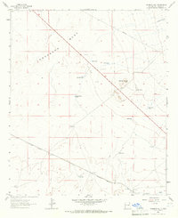
Other maps of this area

1954 · Silver City
USGS Topo · 1:250,000

1958 · Silver City
USGS Topo · 1:250,000

1959 · Redrock
USGS Topo · 1:62,500

1959 · Canador Peak
USGS Topo · 1:62,500

1962 · Silver City
USGS Topo · 1:250,000

1963 · Lordsburg
USGS Topo · 1:24,000

1963 · Culberson Ranch
USGS Topo · 1:24,000
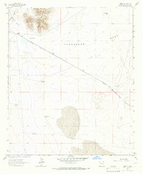
1964 · Summit
USGS Topo · 1:24,000
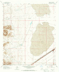
1964 · Mondel
USGS Topo · 1:24,000

1964 · Gary
USGS Topo · 1:24,000